Lake Lanier retaining walls and seawalls in Forsyth County
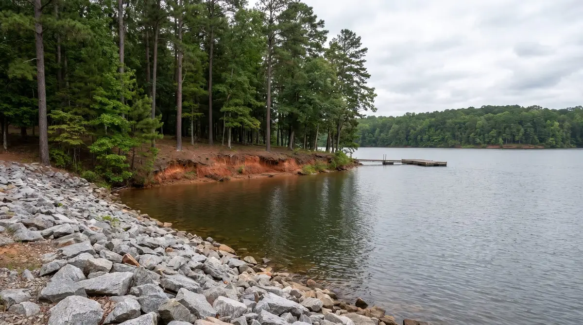
A wall on a Lake Lanier lot has an extra landlord to think about. Below the Corps of Engineers' line, the land isn't yours, and any work there needs a Corps permit first. The Corps' plan says riprap is the preferred way to protect the shoreline, and it considers seawalls and gabion baskets only when riprap won't work. Up on your own land, the wall follows county rules. Shoreline walls run about $150 to $600 a foot by Angi's figures.
Call (470) 281-3568Rather not call? Send the detailsCalls are answered weekdays, 9 to 6. After hours, leave your name, address and what's going on, and you'll get a call back first thing the next business day.
Where does my land stop on Lake Lanier?
| Line | What it is | Why it matters |
|---|---|---|
| 1,071 feet | The lake's full pool level | A water level, not a property line |
| Government boundary | Mostly straight lines between survey points | Below it is public land, and any work needs a permit |
| 1,085 feet | Maximum flood elevation, behind flowage easements | Private land, but with limits on building and on changing the contours |
The Corps is clear that most of its boundary doesn't follow an elevation, and that painted witness trees don't mark the exact line. It also says private property lines don't extend onto public lands, and it recommends a private survey before any construction next to them. That survey is the first step for any wall near the water.
Can I build a seawall on Lake Lanier?
It isn't flatly banned, but it's the last option. In the Corps' words, riprap is the preferred method of shoreline stabilization, and seawalls and gabion baskets are considered only when riprap isn't a functional alternative. The plan considers permitted facilities in Limited Development shoreline areas only, so your stretch of shore matters too.
Riprap has its own permit, called a Specified Acts Permit, and its own specs: a slope of 2:1 or flatter over a layer of filter cloth. The Corps' permit page quotes about 6 to 8 weeks for shoreline applications, so don't leave this for the week before a job.
What about a wall on my own land above the Corps line?
That falls under Forsyth County's normal rules: a permit and engineered design over 6 feet from the bottom of the footing, plus the county's buffers, which count lakes as state waters. Between the Corps line and the 1,085 elevation, a flowage easement may apply. The land stays private, but the easement restricts habitable buildings and prohibits changing the existing contours. The plan says some uses may be authorized by the Corps' Operations Manager.
The plan doesn't address retaining walls on flowage-easement land directly. Since a wall usually involves moving soil, ask the Corps' Lanier office before you plan one there. It's a short call compared with undoing the work.
What steps come first on a lake lot?
- Get a survey: Have it show the government line and the 1,085 line, since the Corps recommends a private survey before construction near public land.
- Call the Corps office: Ask what your stretch of shoreline allows and which permit fits. Any work on public property needs a permit first.
- Ask the county: Check buffers and whether a wall on your side needs a county permit.
- Mark utilities: A Georgia 811 request is required at least 3 business days before machine digging.
- Plan the access: Lake lots are often steep with narrow drives, and that can decide what material is practical.
How much does a Lake Lanier wall cost?
Angi lists shoreline retaining walls at $150 to $600 a linear foot, and LawnStarter lists them at $108 to $288. Steep access, a long carry down the hill and permit time can all push a Lanier job up. For a wall farther up the lot, away from the water, the regular prices on the cost guide are the better starting point.
Why does so much of this come up in Forsyth County?
Lake Lanier was built between 1951 and 1956, flooding deep ravines in the Piedmont. It has about 690 miles of shoreline, and the New Georgia Encyclopedia says 30 percent of it lies in Forsyth County. That's a lot of steep lots where the backyard runs down to public land.
Common questions
Is 1,071 feet my property line on Lake Lanier?
No. It's the lake's full pool level. The government boundary is mostly straight lines between survey points, so it can sit well above the water in places. A survey shows where yours is.
Can I repair an existing seawall?
Ask the Corps first. Any work on public property needs a permit, and a repair is still work. Have any past permit paperwork ready.
Do painted trees mark the Corps line?
Only roughly. The Corps says witness tree markings don't represent the exact boundary line.
Does the county setback apply next to Corps land?
The county's code says side and rear setbacks and exterior buffers don't apply to residential or agricultural lots adjoining Corps land in some cases, but ask the county about your lot, since other rules may still apply.
Sources: US Army Corps of Engineers, Lake Sidney Lanier Shoreline Management Plan (2004) (source); US Army Corps of Engineers, Lake Lanier shoreline permit program (source); US Army Corps of Engineers, Lake Lanier Exhibit 7: riprap (source); Forsyth County, Fence and retaining wall permit packet (revised January 2025) (source); Forsyth County Unified Development Code, Chapter 18 (stream buffers; third-party copy) (source); Georgia 811, The 811 process (source); Angi, How much does it cost to build a retaining wall? (updated September 2026) (source); LawnStarter, How much does a retaining wall cost in 2026? (source); New Georgia Encyclopedia, Forsyth County (source); Forsyth County Unified Development Code, Chapter 10 (lots next to Corps land; third-party copy) (source); HomeGuide, Retaining wall cost (2026) (source).
Last reviewed November 5, 2026.
Rather not call? Send the details
A local retaining wall pro will call you back.